We Resolve Extremely Difficult Land Registry Boundary And Right Of Way Mapping Errors for You and Your Descendants.
We Fix Land Registry Mapping Errors
We Also Provide:
- First Registration Maps
- Land Transfer & Sub Division Maps
- Right of Way Maps
- Multi-Story Registration
- Scheme Maps for Land Registry
- We Guarantee Land Registry Acceptance Of Our Mapping
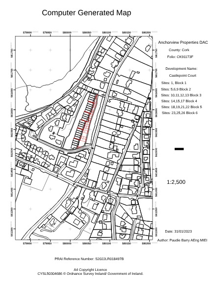
Your land registry map consists of an Ordnance Survey base map and a Land Registry red outline with or without yellow shading for rights of way / way leaves.
In order to regularise your map so that the red line matches what is on the ground, your mapping errors need to be addressed appropriately.
ie. Ordnance Survey errors need to be addressed by submitting a QA form to the Ordnance Survey Ireland website. On the other hand, Land Registry mapping errors can only be dealt with by communicating with the Land Registry’s Mapping Unit.
Paudie Barry holds two degrees, one in Civil Engineering and one in Geographic Information Systems. His Civil Engineering survey experience enables Paudie to accurately check and correct the Ordnance Survey Base Map.
Paudie’s GIS background enables him to communicate fluently with the Land Registry Spatial Information Unit in order for them to migrate the red line so that it accurately reflects your physical boundary on the ground.

WE CAN ACCURATELY ESTABLISH WHERE YOUR BOUNDARY IS
We can accurately establish your boundary or right of way using high-specification GPS surveying equipment and based on the digital boundary information provided by the PRAI.
At Baseline Surveys, we can help clients to resolve boundary disputes by taking the following steps:
- We check that the existing Land Registry maps accurately reflect what is on the ground.
- We survey the site using a combination of GPS, 3D laser scanner and a survey drone.
- Within Baseline Surveys geographic information system, overlay the survey results with the current digital ordnance survey map and the current digital Land Registry red outline.
- We take the necessary steps to regularise the PRAI map if the Land Registry folio is inaccurate.
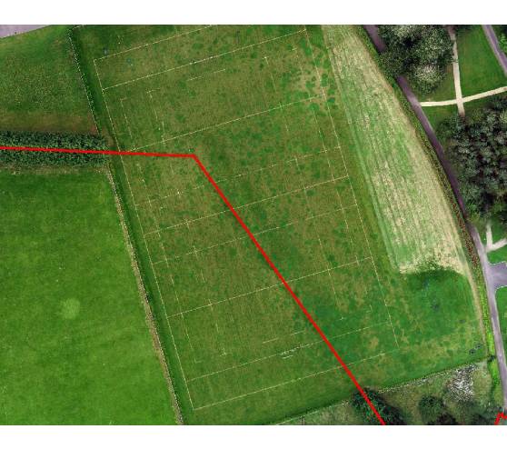
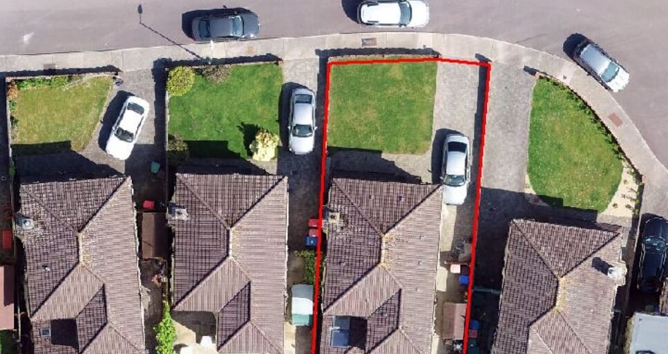
- Once the map is in order, it is overlaid onto the drone aerial photography so that the client and their neighbour or their solicitor can clearly understand the relationship between the Land Registry map and the land itself. In our past experience, this resolves 99% of boundary disputes.
- We can provide expert forensic testimony if required, however, our objective is to resolve the issue long before it goes to court.
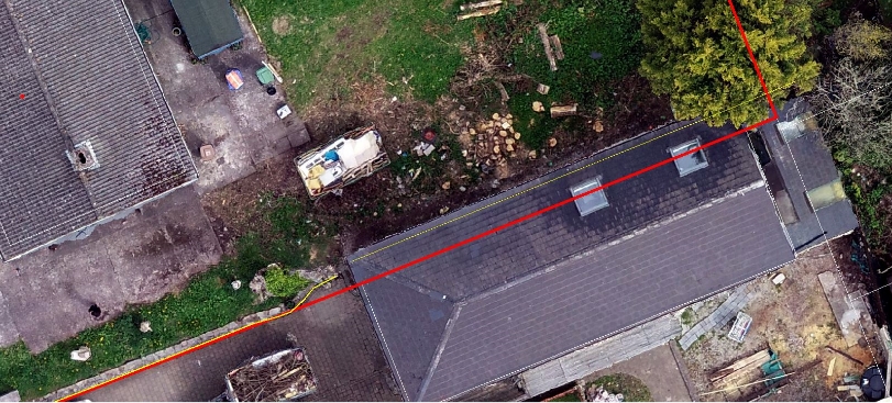
Typical Land Registry Mapping Errors And How Baseline Surveys Fixes Them
CONTACT BASELINE SURVEYS TODAY FOR A FREE CONSULTATION
We are available now and we have a very fast turnaround time.
Paudie would be delighted to discuss your survey requirements
Or email: [email protected]


